|
LES
DIFFÉRENTS MODÈLES NUMÉRIQUES DE PRÉVISION
DU TEMPS POUR LE BASSIN PACIFIQUE SUD
|
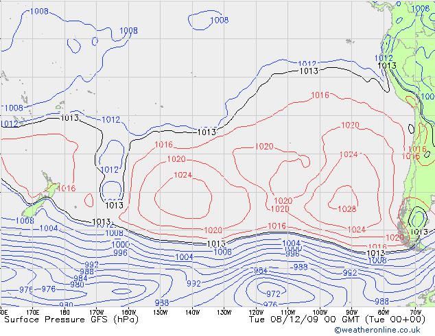
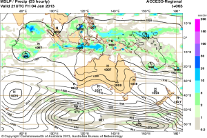
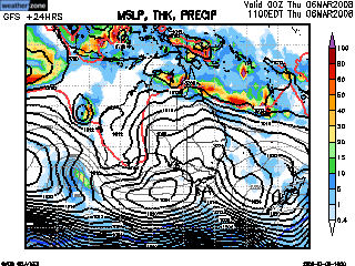
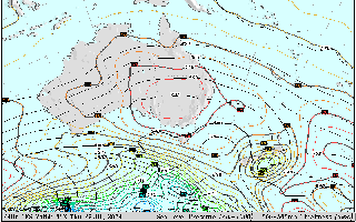
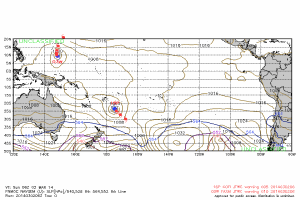
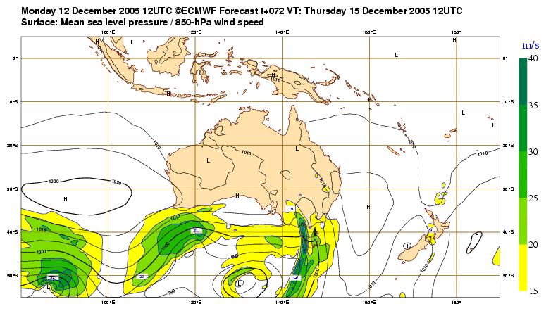
Différents
modèles de prévision
numérique (par exemple GFS, Navgem, ECMWF, CMC,
Access, UKMET,...) permettant
la prévision du temps sont
à votre disposition
fournissant de nombreuses données à différents
niveaux de l'atmosphère
Ils prévoient entre autre l'évolution
des anticylones et des dépressions (également
des systèmes cycloniques) sur
plusieurs jours lors de leurs différents runs
(moment T à partir duquel le modèle
va prévoir "le futur", sachant qu'en général
il y a 2 runs par jours) qui eux aussi évoluent et
donc la situation d'avant n'est pas forcément toujours
la même 12 heures après (et notamment
en ce qui concerne la prévision de trajectoire des
systèmes cycloniques non encore existants, donc à
prendre avec tout le recul nécessaire)
N'oubliez pas la marge d'erreur concernant
l'évolution d'une trajectoire d'un phénomène
cyclonique avec à 24h jusqu'à
150km et à 72h jusqu'à
350km en moyenne
Pour
infos : 850 hpA = 1500 mètres d'altitude, 700 hPa =
de 3000 m à 3200 m, 500 hPa de 5500 m à 5900
m & 200 hPa = 12 km d'altitude, décroit de 1 hPa
tous les 8,3 mètres
En tout état de cause il ne
faut par prendre pour argent comptant ce qui est établi
à un instant T par un
modèle mais voir l'évolution de ces prévisions
sur plusieurs runs, voire jours de ce modèle et le
comparer également aux autres modèles afin de
pouvoir dégager une tendance
|
|
|
|
|
|
|
|
|
|
|
|
|
|
|
|
|
|
|
|
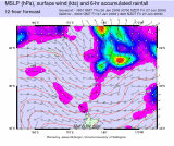
Windy
(Modèles ECMWF & GFS)
|
|